 Slovenski INSPIRE metapodatkovni sistem
Keyword
matematični elementi, naselja in objekti, komunikacije, relief, hidrografija, pokritost tal, meje in ločnice, zemljepisna imena
1 record(s)
Type of resources
Categories
INSPIRE themes
Keywords
Formats
Scale
From
1
-
1
/
1
-
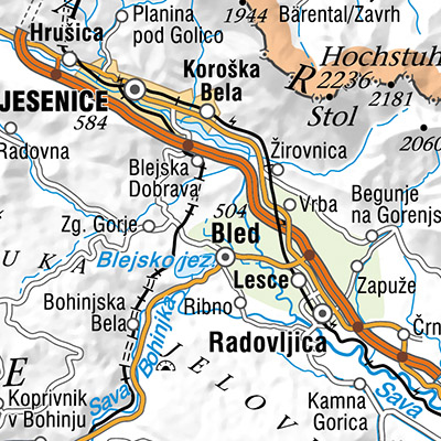
The National General Map at 1 : 500 000 Scale shows the entire territory of Slovenia on one sheet of A2 format. Layers: mathematical elements, settlements and objects, communications, relief, hydrography, land cover, boundaries and dividing line, geographical names. The map is used for "rough" orientation in the space and for the needs of large scale and thematic displaying.